A year after the Israel–Hezbollah ceasefire, satellite analysis shows Israeli forces remain in five strategic positions in south Lebanon despite the truce’s withdrawal terms
A year after a ceasefire between Israel and Hezbollah, the Israeli army continues to hold five positions in south Lebanon, according to satellite images analysed by AFP. The truce agreed on November 27, 2024, required Israel to withdraw fully within 60 days.
The agreement also called for Hezbollah to pull its fighters north of the Litani River, around 30 kilometres (20 miles) from the Israeli border, and for its military infrastructure in the area to be dismantled.
Israel has kept troops in five locations it considers strategic, arguing they are necessary to prevent Hezbollah from conducting military activities in the south. AFP identified the positions using satellite images from Planet Labs PBC.
Satellite imagery shows fortified bases
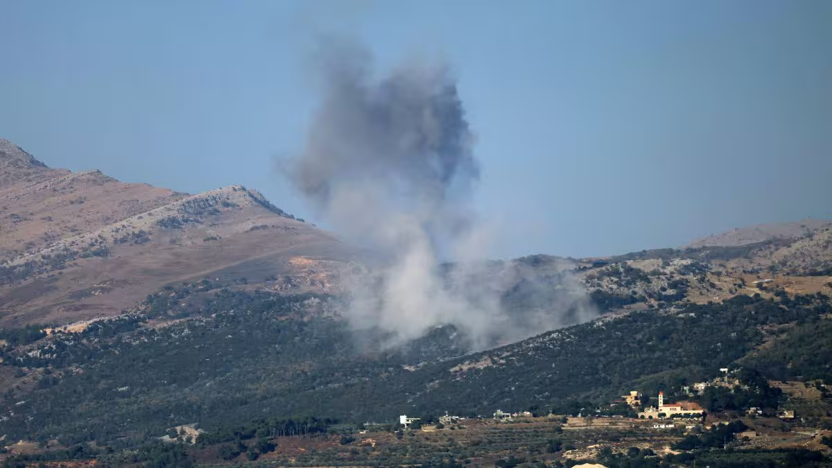
The positions lie along ridges near the Blue Line, giving the Israeli army oversight of several Lebanese border villages. The towns of Kfar Kila, Aita al-Shaab, Maroun al-Ras, Aitaroun, Blida, Markaba and Hula are all within direct view, and many of these areas have suffered extensive damage from Israeli strikes and ground operations.
Images show that all buildings near the Hatzivoni outpost, between Hula and Markaba, have been destroyed. The bases, measuring roughly one to two hectares (around 2.5 to five acres), include fortified zones with temporary structures and areas designated for military vehicles.
The westernmost outpost at Labbouneh sits about 150 metres (500 feet) from a United Nations peacekeepers base and the Blue Line. The easternmost, on Hamames hill, lies around 1.5 kilometres (almost one mile) inside Lebanese territory.
The satellite analysis also indicates that access roads to the positions have been significantly widened to support vehicle movement. As in the Gaza Strip, the Israeli army has carried out systematic demolition of buildings and infrastructure in villages closest to the border, which were heavily bombed.
According to comparative satellite assessments by American researchers Corey Scher and Jamon Van Den Hoek of the University of Oregon, updated in late January, Kfar Kila had been 65 percent destroyed, while Aita al-Shaab and Yarin were 57 percent and 55 percent destroyed, respectively.
End of Article