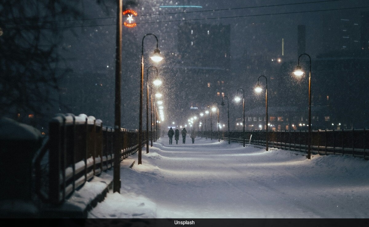
Minnesota residents are advised to prepare for a major shift in weather next week, with multiple forecast models predicting a significant rain-to-snow event across the state. Late Monday or early Tuesday is when the system is predicted to arrive, initially bringing rain to a large portion of the state.
However, especially in the central and northern regions, the precipitation is expected to turn to snow as colder air moves in. According to several models, the storm may stall over Lake Superior, causing significant snowfall in these regions.
While the exact track and intensity of the storm are still uncertain, forecasters are urging residents to monitor weather updates closely. It’s advisable to prepare for potential travel disruptions, power outages, and hazardous road conditions.
How Frequently Does Snow Fall in Minnesota?
While winter brings cold temperatures to Minnesota, snowfall days are relatively limited. On average, Minneapolis experiences around 15 snow days each year, while Rochester sees about 16 days. Duluth, known for its more intense winter weather, averages around 25 days of snow annually.
According to KROC News, Minnesota’s weather forecast for Thursday, November 21, predicts scattered snow showers in Rochester with highs of 37 fahrenheit, lows of 29 fahrenheit, and up to an inch of snow. Minneapolis expects a mix of rain and snow with a high of 43 fahrenheit and a low of 34 fahrenheit. In Duluth, rain and snow chances increase to 60% by evening, with similar mixed conditions continuing Friday and Saturday, reaching highs near 39 fahrenheit.


